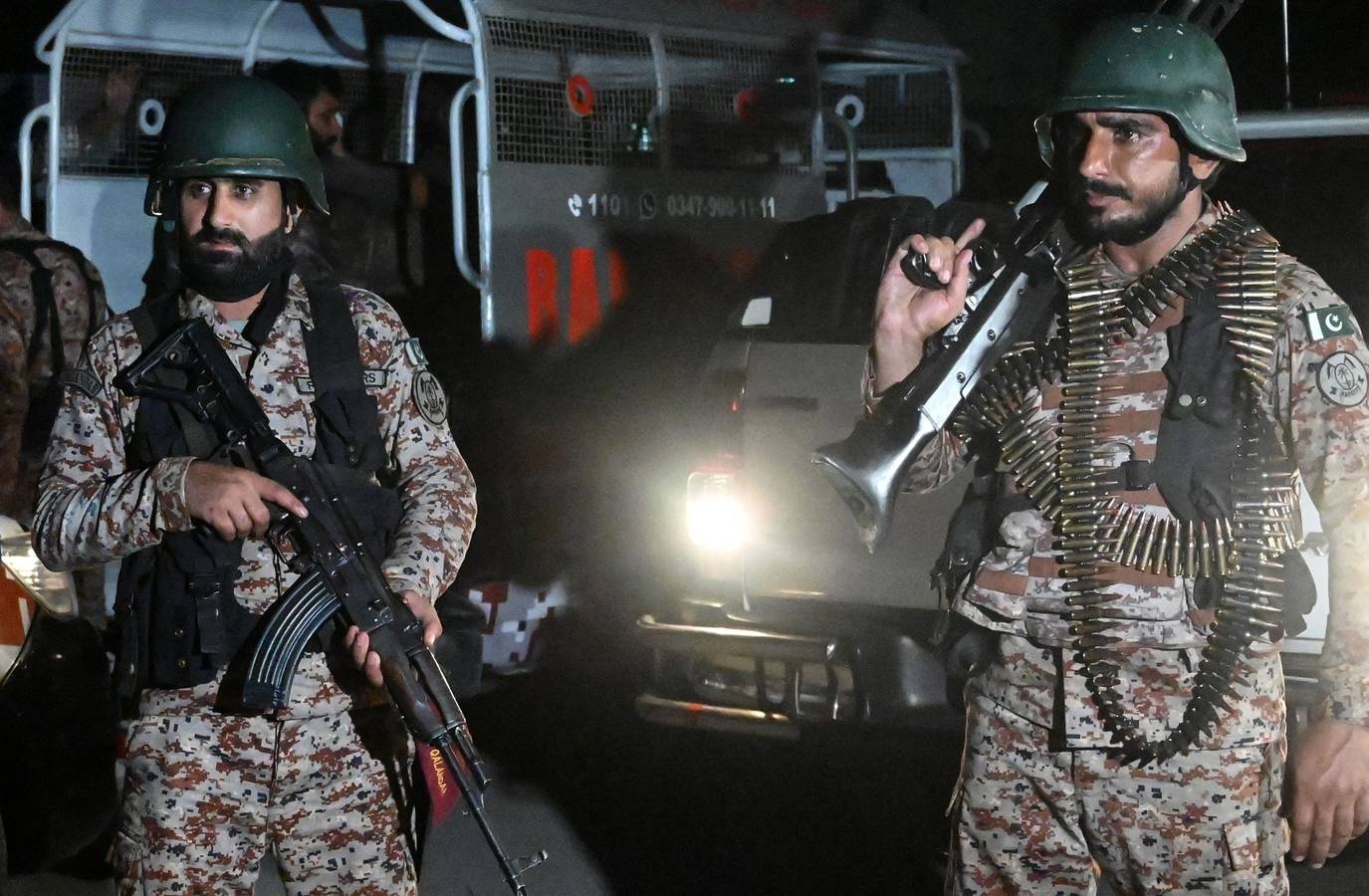
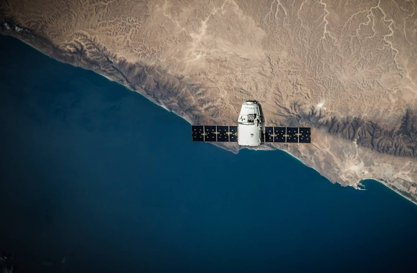
China's satellite industry has emerged as a key player in the Middle East conflict, providing high-resolution images that have boosted Iran's war effort. Despite the US clampdown on satellite imaging, Chinese firms have proliferated, offering images that have revealed damage to American military platforms and Gulf energy sites. The Chinese satellite industry's rapid growth has led to a shift in the balance of power, with China now neck-and-neck with the US in Earth-observation capabilities.
Chinese satellite firms have taken advantage of the US's restrictive export licence regulations, offering images that are not bound by the same restrictions. However, Chinese providers have their own restrictions, with some firms only releasing images that align with the Communist Party's interests. Despite this, Chinese images have provided valuable insights into the conflict, including the use of AI to identify and track objects.
The release of labelled images by Chinese firms has also provided a training ground for researchers, allowing them to refine their models and improve their accuracy. However, the use of Chinese satellite images has raised concerns about the potential for espionage and the impact on the global balance of power.
As the conflict in the Middle East continues, the role of Chinese satellite firms is likely to become increasingly important. With new capabilities on the horizon, including video recording and satellite-to-ground laser communications, the Chinese satellite industry is poised to play a major role in shaping the future of Earth-observation.