
5.2 Magnitude Earthquake Strikes Pakistan, Rattles Afghanistan
Pakistan is among the seismically active countries in the world, crossed by several major faults. | World News
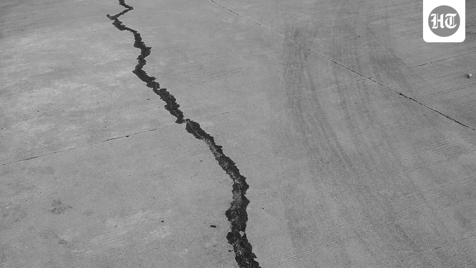
A powerful 5.2-magnitude earthquake hit Pakistan early Friday morning, sending shockwaves through the region. According to the National Centre for Seismology, the epicentre of the quake was located at a depth of 135 km, approximately 36.12°N latitude and 71.51°E longitude, within Pakistan's territory.
The National Centre for Seismology reported the quake at 03:09:12 IST, noting the location as Pakistan. As the region remains highly seismically active, with the Indian and Eurasian tectonic plates colliding, moderate to strong earthquakes frequently occur, often affecting multiple countries.
Pakistan's unique geography, with several major faults and its location near the Eurasian and Indian tectonic plates, makes it highly vulnerable to violent earthquakes. The country's provinces, such as Balochistan, Khyber Pakhtunkhwa, and Gilgit-Baltistan, are situated on the southern edge of the Eurasian plate, while Sindh and Punjab lie on the northwestern edge of the Indian plate.
As a result, the region has experienced several significant earthquakes in the past, with provinces like Punjab and Sindh being particularly susceptible to seismic activity. The ongoing collision between the Arabian and Eurasian tectonic plates poses a significant threat to the region, making it essential for authorities to remain vigilant and prepared for potential earthquakes.


