
Wildfires have become a recurring and deadly challenge across southern Europe, and few countries understand the threat better than Greece. The country has witnessed some of the continent’s worst fire disasters in recent years, prompting authorities to search for faster and more effective ways to detect and contain blazes.
Enter ‘fire-hunting’ satellites, a dedicated network of fire-detecting satellites that can identify small fires within minutes and relay critical information to emergency responders.
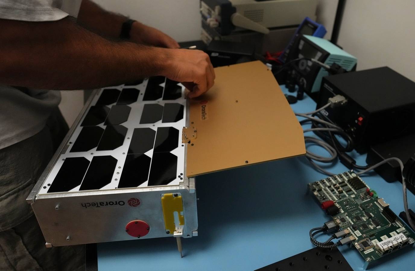
Developed by German company OroraTech, the satellites can detect fires as small as four metres (13 feet) across. Traditional satellites often require fires to grow much larger before they become visible from space.
The system continuously scans the ground for heat signatures. When a potential wildfire is detected, artificial intelligence processes the satellite data and automatically sends alerts to firefighting commanders.
The alerts include key information such as the fire’s location, size and intensity, allowing emergency teams to assess the threat almost immediately.
Real-time information matters during wildfire season. Officials say real-time data helps authorities decide which fires pose the greatest danger and should receive immediate resources.
The satellite programme arrives as Greece faces increasingly extreme weather. The country recorded its hottest summer on record in 2024 and its third-hottest summer the following year.