SLBC Tunnel Project Back on Track: NGRI Survey Unveils Crucial Geographical Insights
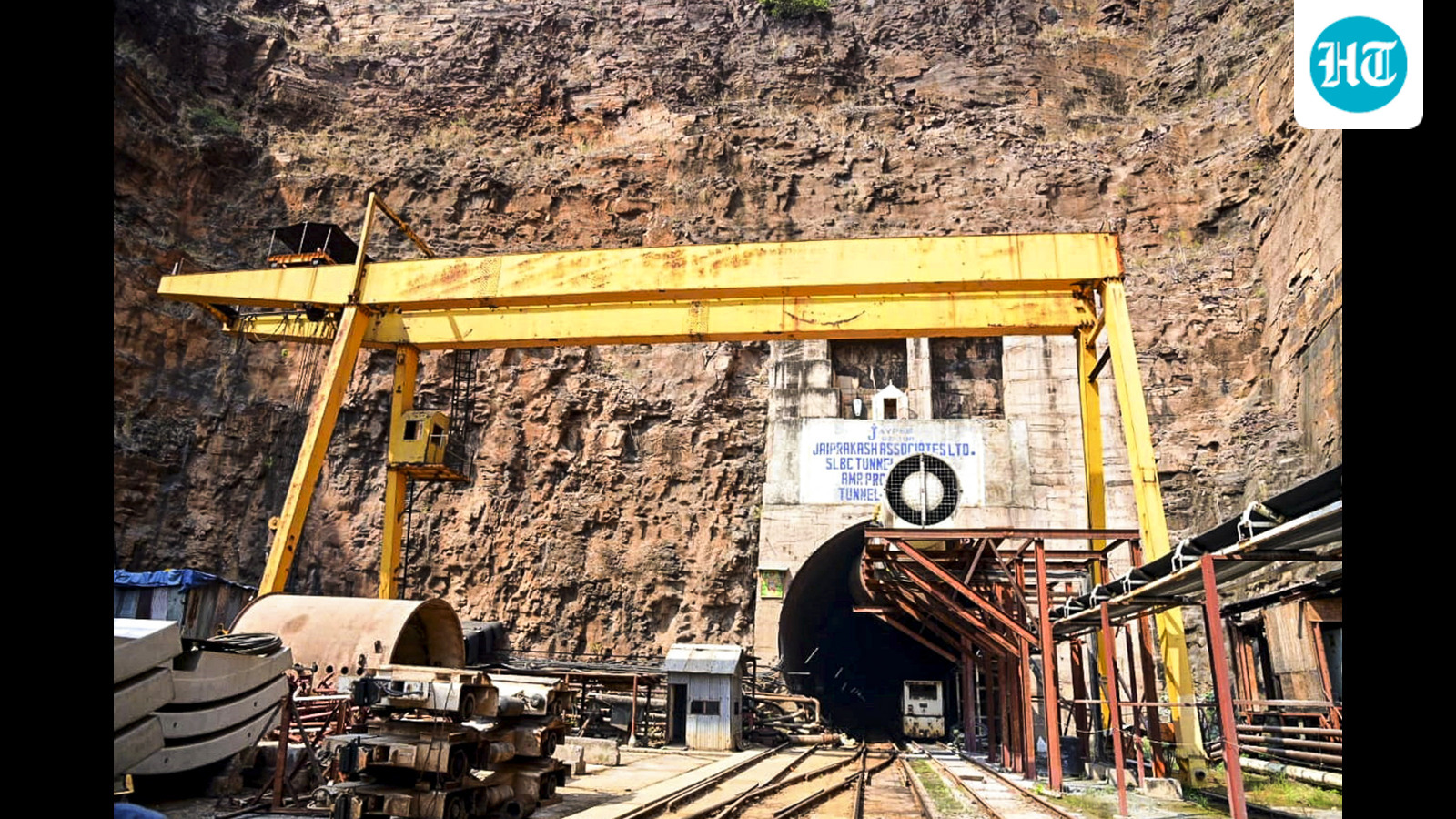
Image Source: Internet
A recent Versatile Time-Domain Electromagnetic (VTEM) survey conducted by the National Geophysical Research Institute (NGRI) in Telangana's Nallamalla forest range has provided vital information on the geographical fault lines in the area where the Srisailam Left Bank Canal (SLBC) tunnel is being constructed. The survey, launched in November 2025, used cutting-edge technology to map geophysical features, including subsurface geological formations and potential hazards. According to officials, the report from the NGRI survey will help engineers identify and assess potentially adverse geological zones, ensuring the safety of the tunnel construction process. The survey was presented to state irrigation minister N Uttam Kumar Reddy during a high-level review meeting on Monday. The SLBC tunnel project, worth ₹4,600 crore, aims to divert Krishna River water to provide irrigation to 400,000 acres and drinking water to 516 villages. Construction work on the tunnel was suspended after a collapse on February 22, 2025, resulting in eight fatalities. Following the NGRI survey, Chief Minister A Revanth Reddy has directed the resumption of construction work with a focus on safety protocols. An exclusive SLBC division will be established, headed by a chief engineer, to expedite the tunnel construction. Additionally, an independent supervision consultant will be appointed to ensure safety, quality, and design compliance throughout the project. To guarantee the safety of the tunnel construction, dedicated planning teams will monitor daily and weekly progress, while tunnel safety supervisors from Singareni Collieries Company Limited (SCCL) will be deployed at the site. Specialized geotechnical and geological teams will also be established to perform daily assessments of ground behaviour and tunnel stability, enabling real-time decision-making and risk mitigation.