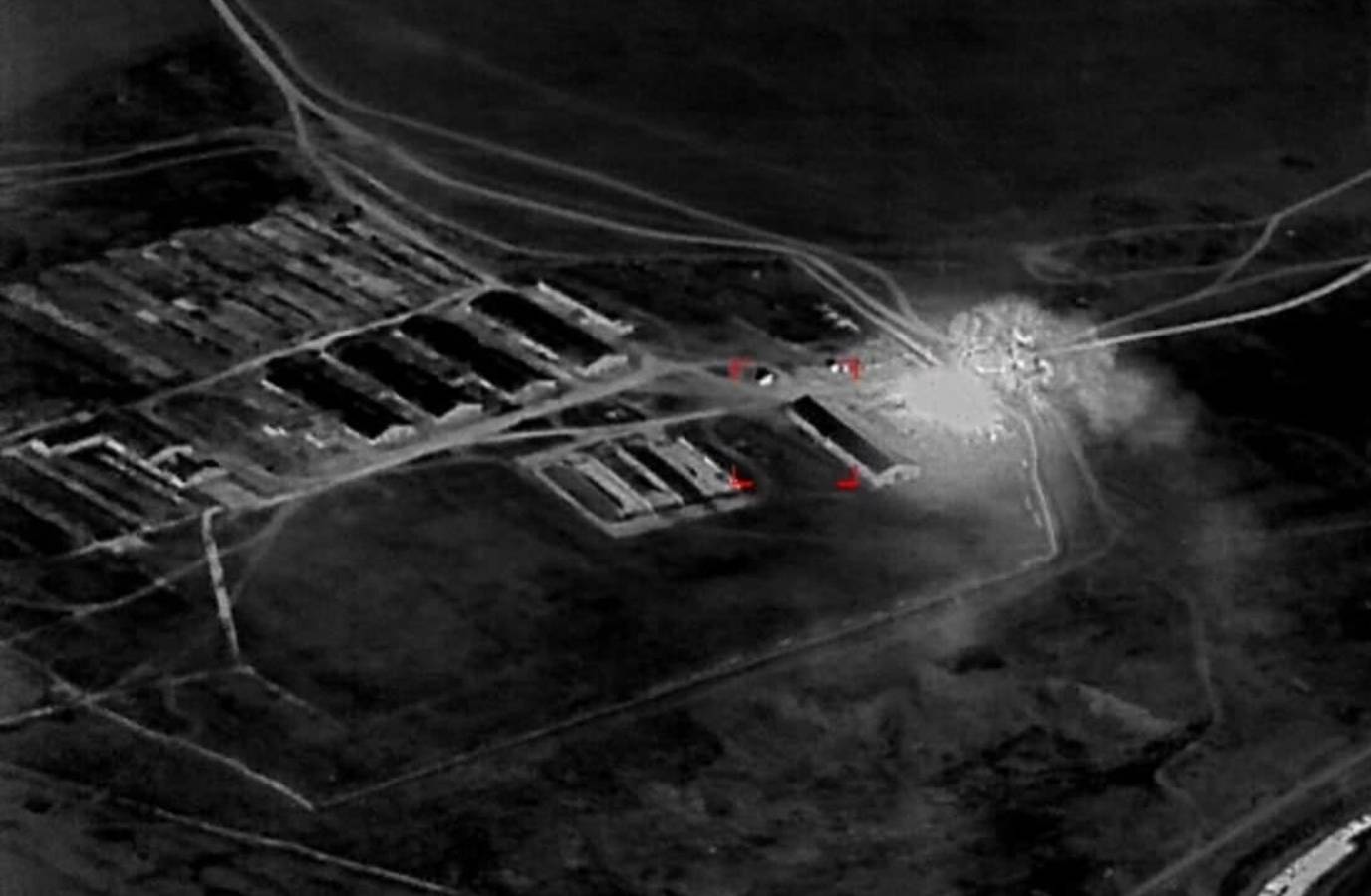
The Ukrainian military has found a new way to improve the speed and precision of its drone attacks using high-definition, near-real-time images taken by commercial satellites.
The images, delivered directly to soldiers' phones, tablets, and laptops, have shortened the time it takes to locate and strike Russian assets by as much as 90%, according to the technology providers and people involved in the missions.
The technology, a trans-Atlantic collaboration between Vantor, Bravo1Alpha, Persistent Systems, and Burevii, allows soldiers to identify and investigate targets in detail using software that lets users compare current satellite images with historical images.
The satellite intelligence has allowed Ukrainian forces to destroy billions of dollars in Russian assets, including a Russian ammunition depot in occupied Ukraine, and has given them a tactical and technological advantage over Russia.
Ukraine's use of commercial satellite imagery to guide real-time battle decisions marks the first known instance of unclassified, commercial satellite imagery going directly to a soldier, according to the companies and military analysts.