
Sierra Nevada winter storm warning: I-80 over Donner Pass and Highway 50 to face closure due to heavy snow, strong wind | Hindustan Times
California's Sierra Nevada faces a significant winter storm until Tuesday, with warnings issued for severe weather.
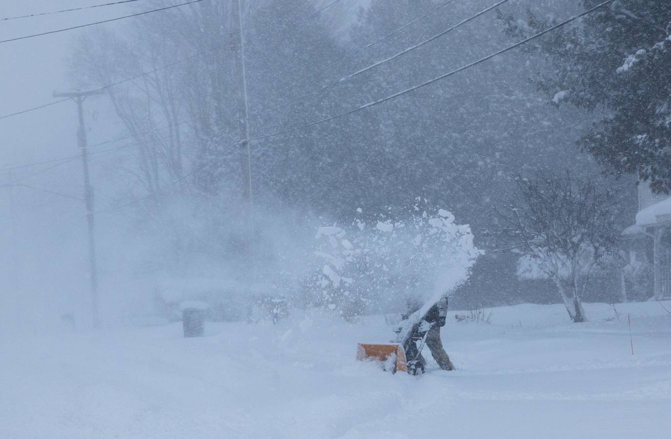
Sierra Nevada winter storm warning: A significant late-season winter storm is causing concern across the Western United States, posing the risk of severe conditions in California’s Sierra Nevada until Tuesday.Meteorologists have issued winter storm warnings as a Pacific low-pressure system drives moisture levels to 90% above the norm in the mountainous regions.The storm is anticipated to deliver as much as 4 feet of snow on the tallest peaks, with wind gusts potentially reaching 70 MPH along the Sierra crest.Travel conditions are becoming hazardous on major routes such as I-80 over Donner Pass and Highway 50, where snow levels are forecasted to plummet from 7,000 feet to as low as 4,500 feet.Officials caution that the "period of heaviest snow" will lead to considerable visibility problems.Also Read: Nancy Guthrie ‘denied’ loan to Annie, Tommaso Cioni before disappearance: Chilling claim surfaces amid probeSierra Nevada winter storm warning: NWS issues warningThe National Weather Service has warned that travel may become extremely challenging and that "tire traction will be reduced." Given the likelihood of road closures, Caltrans is implementing stringent chain regulations.Motorists are advised to get ready for emergencies, with specialists emphasizing: "If you must travel, keep an extra flashlight, food and water in your vehicle."As Colorado and New Mexico contend with their own persistent snowfall, the Sierra Nevada continues to be the main focus for this hazardous May frost.What the storm is expected to bring and its timingSnow has already begun to fall at higher elevations exceeding 7,000 feet. However, the most disruptive segment of the storm is anticipated to occur from Sunday night into Monday. During this time, snow levels are projected to plummet significantly, decreasing from approximately 7,000 feet to as low as 4,500 feet. This drop will result in substantial snow accumulations in regions that would typically remain free of snow at this stage of the spring season.In lower mountain elevations above 6,000 feet, meteorologists are forecasting snow accumulations of 1 to 2 feet. For the highest peaks, totals of 3 to 4 feet are deemed likely. Wind gusts along the Sierra crest are expected to reach between 50 to 70 mph, with localized gusts potentially reaching 80 mph in the most exposed regions. Visibility will be drastically reduced during the heaviest snowfall periods, and road conditions at higher elevations will deteriorate swiftly once the weather conditions fully manifest.Sierra Nevada winter storm warning: Which roads face greater risk?Three primary travel routes are experiencing the most severe disruption due to this storm.The first and most critical is Interstate 80 over Donner Pass, which meteorologists are identifying as having a very high risk of prolonged closure, Rolling Out Next reported.The second is Highway 50 over Echo Summit, where heavy snowfall and significant delays are anticipated throughout the storm's duration. The third is Highway 395 along the Eastern Sierra, where icy and snowy conditions will render travel dangerous across a lengthy stretch of roadway, even at lower elevations.The most pressing concern is the potential for both I-80 and Highway 50 to close concurrently during the window from Sunday night into Monday. Should this happen, there are no viable alternative routes across the Sierra for drivers needing to travel between California's Central Valley and points to the east. Caltrans is closely monitoring the situation and possesses the authority to implement chain controls and close roads as necessary.