
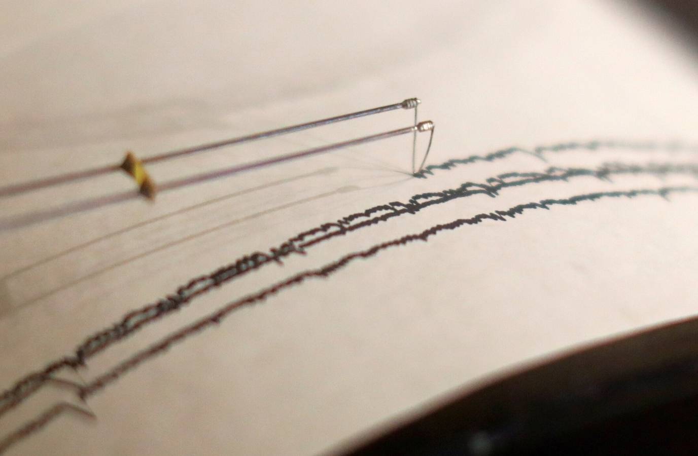
An earthquake of magnitude 4.7 struck Leh, Ladakh, on Friday, according to a statement by the National Centre for Seismology (NCS). The earthquake occurred at a depth of 28 km.
In a post on X, the NCS said, “EQ of M: 4.7, On: 27/03/2026 10:10:15 IST, Lat: 36.706 N, Long: 74.458 E, Depth: 28 Km, Location: Leh, Ladakh.”
It wasn't the first earthquake to hit Ladakh on Friday; NCS reported another, of magnitude 3.9, at 8:31 AM.
“EQ of M: 3.9, On: 27/03/2026 08:31:09 IST, Lat: 36.692 N, Long: 74.382 E, Depth: 10 Km, Location: Leh, Ladakh,” the earlier NCS post on X read.
Earthquakes can occur anywhere between the Earth's surface and about 700 kilometres below the surface. For scientific purposes, this earthquake depth range of 0 - 700 km is divided into three zones: shallow, intermediate, and deep, as per USGS data.
Shallow earthquakes are between 0 and 70 km deep; intermediate earthquakes, 70 - 300 km deep; and deep earthquakes, 300 - 700 km deep. In general, the term "deep-focus earthquakes" is applied to earthquakes deeper than 70 km, according to the USGS.
Satellite observations offer insight into a tsunami's early stages.
Observations made by a satellite operated by the US and French space agencies shortly after a strong earthquake struck off Russia's Kamchatka Peninsula last year are giving scientists a better understanding of how tsunamis originate and propagate.
The researchers said the findings may help improve understanding of future tsunamis and earthquakes at subduction zones, particularly near the ocean trench where two tectonic plates meet and one slides beneath the other.
The strongest tsunamis are often generated by such quakes.
A tsunami - a series of extremely long and powerful ocean waves - is caused by large movements of the seafloor that push water up or down, often during earthquakes or landslides that occur underwater.
The NASA-CNES Surface Water and Ocean Topography, or SWOT, satellite made its observations within 70 minutes of the start of the earthquake.
It observed not only the leading wave of the tsunami but also a distinct pattern of smaller waves trailing behind it.
Such wave patterns had long been predicted in computer models and theoretical studies, but had been difficult to confirm with real-world observations, the researchers said.
“I believe SWOT represents a new lens for observing and studying tsunamis and their generation,” said Ignacio Sepúlveda, a professor of coastal engineering at San Diego State University and lead author of the study published this week in the journal Science.
“It is also likely to improve our understanding of the physical mechanisms that generate tsunamis, including earthquakes,” Sepúlveda added.
Tsunamis are among the strongest and most destructive natural forces, with powerful waves radiating from a point of origin outward in all directions.
These waves can cause damaging and deadly coastal flooding.
The tsunami in this study did not cause a significant loss of life, but others have caused huge death tolls, such as the 2004 Indian Ocean tsunami that killed some 230,000 people.